
Beaverhouse Lake -> Quetico Lake -> Cirrus Lake -> Kasakokwog Lake -> McAlpine Creek -> McAlpine Lake -> Canal Lake -> Batchewang Bay -> Maria Lake -> Oriana Creek -> Hamburg Lake -> Oriana Creek -> Oriana Lake -> Quetico Lake -> Cirrus Lake -> Beaverhouse Lake
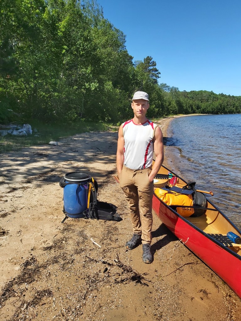
We spent the night before we put in at Beaverhouse Lake in Atikokan. We stayed at the Quetico Inn, a cute motel where we were able to get a good night sleep and ensured we put in first thing in the morning on the first day of our permit, June 27, 2022. (In Ontario, you’re required to obtain a back country camping permit for all provincial parks – so make sure to do that ahead of time, as they only allow a certain number of paddlers per day.) We were on the road at 7am, arrived at the Beaverhouse parking lot around 7:30am, and we were paddling by 8am or shortly thereafter.

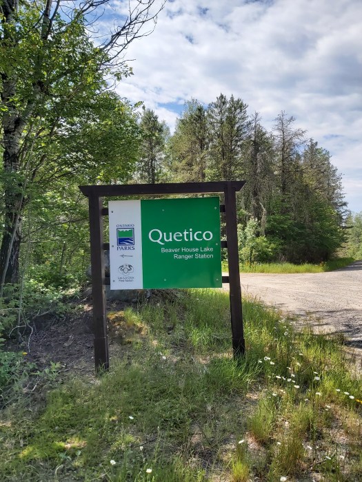
As required, we headed to the Beaverhouse Ranger Station to check in. We got there around 9:15am-ish. Their listed hours are 8am-4:30pm, 7 days per week, during the paddling season. However, there was no one there. We took our time, reading the interpretive signs, using the outhouse one last time, eating a snack, relaxing. We knocked on the doors, windows, basically everywhere we could on the little cabin. I had noticed the Ontario Parks boat at the canoe put in when we’d first put in on Beaverhouse, but I had (incorrectly) assumed someone would have stayed behind to check people in.
We finally decided to leave them a note. I wrote our names, general route, and car description in the parking lot and tucked in under a rock at the front door of the ranger station. Not surprisingly, I wanted to make good distance on day one, and we had a bit of a schedule to follow.
I did get an email from senior park staff wondering why we hadn’t checked in, because we are supposed to! Of course I only received it after our trip was over. I responded to let them know that we had been there and waited around for a while. It was determined that the ranger station was short staffed that morning and someone had failed to show up to their shift. It sounds like my note was never found. The senior park staff apologized and said that should this ever happen again, we don’t need to wait.
Day 1: Beaverhouse Lake to Sue Falls
Off we went, heading east on Beaverhouse toward the portage to Quetico Lake. The portage there follows the south shore along a set of rapids as Quetico Lake falls into Beaverhouse Lake. The condition of the portage was perfectly fine. The falls are lovely to watch and listen to, if you have a few minutes to spare. The only downside at this portage, was spotting a pile of feces barely hidden in the bush. Thankfully, that is the only time that I saw anything like that. I think it was dog poop, and it shouldn’t have been left there like that. 😒
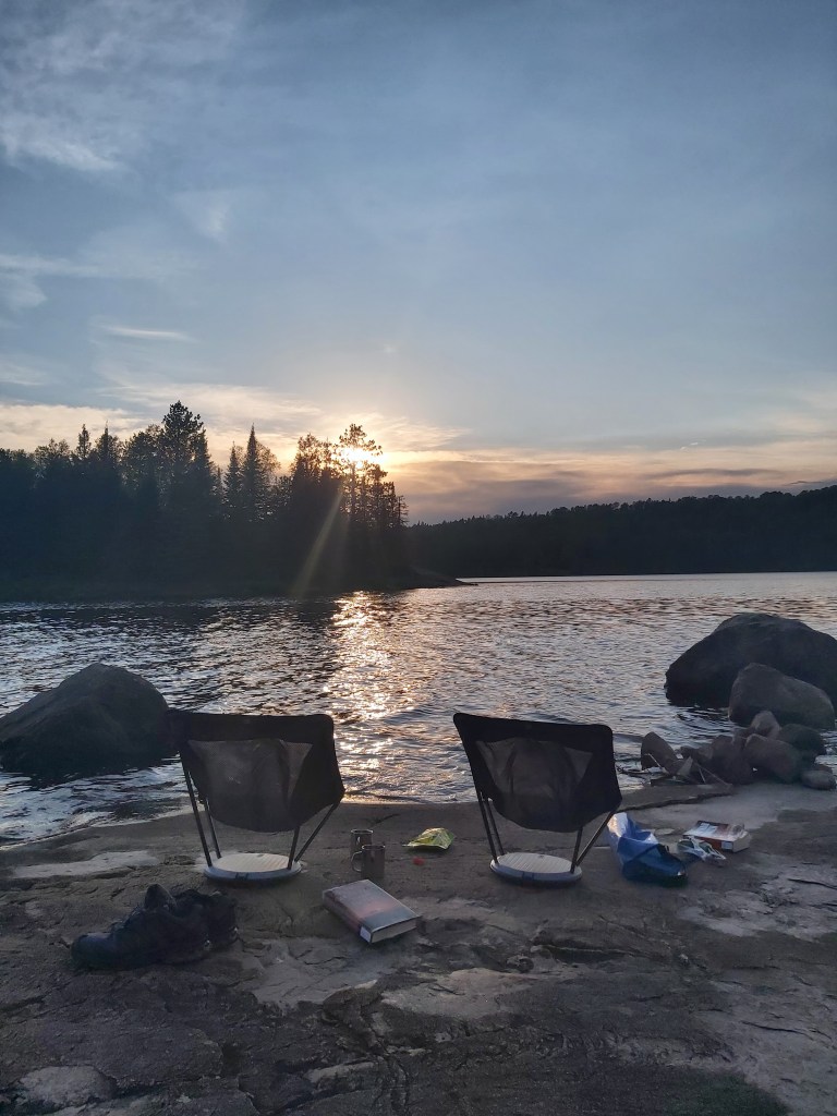
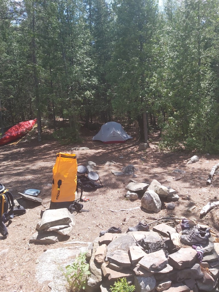
Once in Quetico Lake we headed North, and portaged into Cirrus Lake. We had planned to camp somewhere along the North Shore of Cirrus on the way to Sue Falls. In the end, we checked a total of seven campsites along the North shore and found no suitable campsites. They were buggy, marshy, the entrance was not easily identifiable, had no suitable water access or swimming rocks, had too many shrubs, and/or lacked a tent pad. I would have rated them all a 1 or 2 out of 5. So in the end we paddled all the way to the Sue Falls bay and checked sites around there. They all looked poor, EXCEPT the one on the east tip of land at the entrance to the Sue Falls bay on Cirrus lake. That one turned out to be perfect! It had a nice swimming rock, which is where we sat to enjoy the evening sun. The breeze kept the bugs away. It had a lovely tent pad lined with red pine needles, and a view of 3 different directions. When the wind wasn’t too loud, we could hear Sue Falls in the distance across the bay. 5 stars!
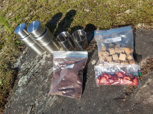
I prepared our evening meal which was pasta and “meat” sauce. “Meat” in this case means textured vegetable protein, an old-school vegan source of protein that is actually perfect for the back country because to prepare it, you just add some boiling water. I had made tomato sauce and cooked chickpea pasta ahead of time, then dehydrated both of those along with a variety of vegetables (peppers, carrots and brocoli). I even ground the tomato sauce into a fine powder so that tomato sauce for 2 meals for us both weighed only a few grams and took the space of about 1/3 cup. So meal prep at camp was simply adding some boiling water to the ingredients in the Thermos, and letting the concoction rehydrate for about 20 minutes. Easy, delicious, and tasty! Also, when all your meals are made in the Thermos, it cuts down on dishes. After ever meal, we rinsed out our thermoses with water, drank the water for extra hydration and electrolytes, and put them away for the next meal. We take “Leave No Trace” quite seriously. 🙂 Definitely check out my Backcountry Food page to learn more about this and to get the recipe for my world-famous pasta no-meat sauce.
We knew we wanted to be on the water early, so I prepared the next morning’s breakfast after we finished dinner. (Soy milk powder, oats, dehydrated apples, bananas and strawberries, into the Thermos, add cold water, and let sit overnight. 🙂
We spent all evening on the sunning rock dipping our feet in the water. When it got chilly, we left the exposed sunning rock and retreated to the fire pit area, but we couldn’t stay out too much past 9pm when the mosquitoes came out. Plus we were exhausted!
If you use Paddle Planner, look for campsite CMP6483. (CMP 6257, 6256, 6443, 6459, 7297, 6463, 6475 were the ones we checked before settling in at 6483.)
Overnight, we had thunderstorms and rain. Nothing too wild, but I did wake up a few times to thunder, lightning and raindrops on the tent. We got up at 6am and put into the water at 8am. It was a cool, cloudy morning.
Day 2: Sue Falls to Batchewaung Bay
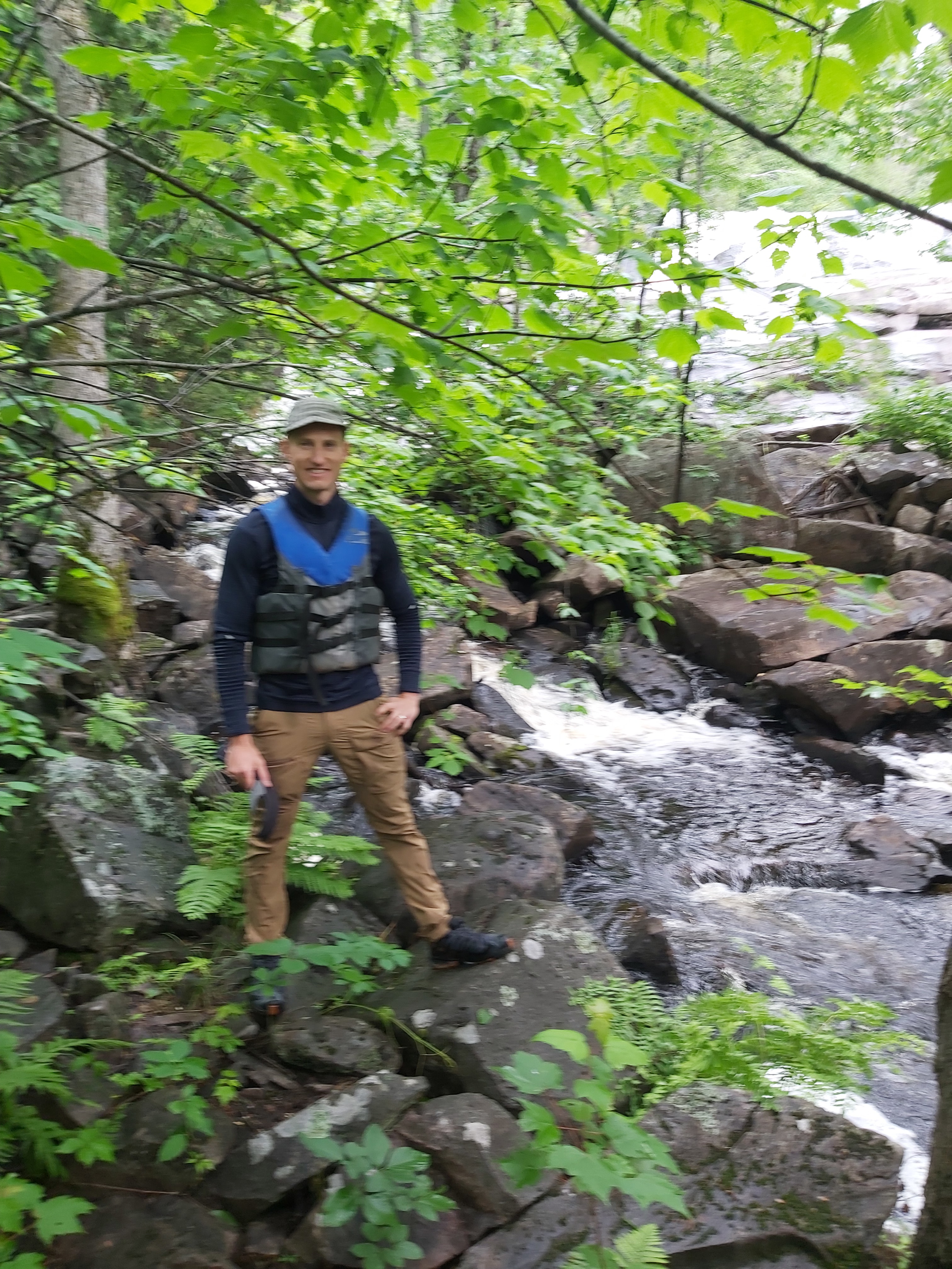
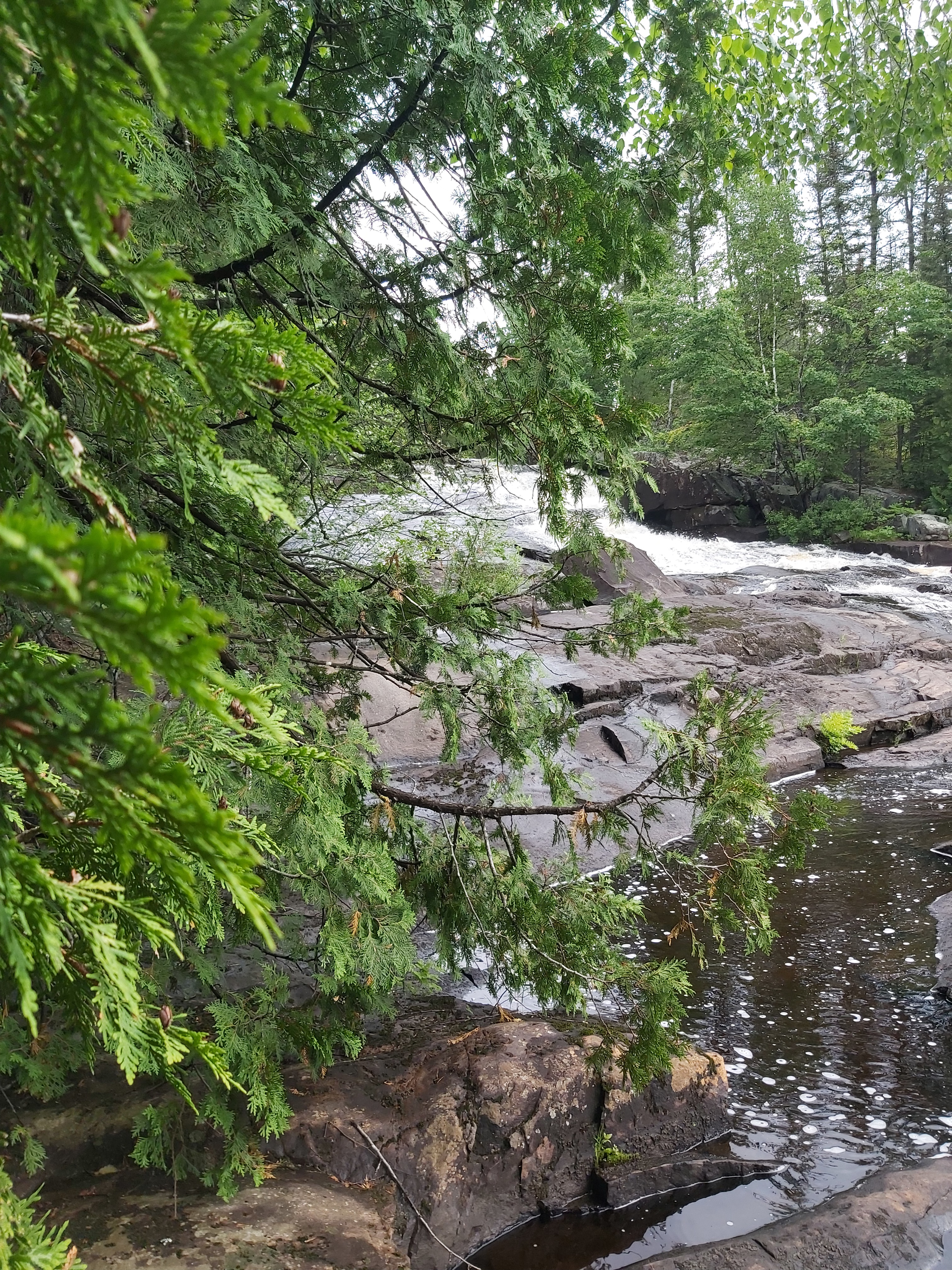
We paddled quickly across the bay into the creek, and as we came around and got our first view of Sue Falls, I knew it would be one of the highlights of the trips. Wow! Simply stunning. We paddled to the West shore of the creek, near the falls and we were able to climb all the way to the top. The cool thing about Sue Falls is that you don’t see the whole thing from the creek at the bottom. There were several “levels” that you could only see from climbing up. Definitely include Sue Falls into your itinerary if you’re paddling in the Northwest part of the park.

After exploring the falls, we paddled almost directly South to the portage into Kasakokwog Lake. I lovingly remember this one as “The Portage that Broke Me”. We used Deet before loading up with the packs and canoe and heading into this nearly 1km portage. Off we went. Tim had to put the canoe down for short breaks a few times in the first 350m. This is strange because if you know anything about us, it’s that we do single portages. HOWEVER, on this trip we had different packs than we had used before. And we also had a new canoe. We assumed that since the canoe was half the weight of the trusty old 75-lb Grumman we used previously, we would have no problem with single portaging as we usually did. Unfortunately, some combination of the new packs, the way they sit on the shoulders, and the yoke of the new canoe, was making single portaging really difficult for both of us, but especially Tim who was portaging a “light” pack and the canoe.
Every time we stopped, the mosquitoes would swarm me, despite the DEET I had applied a few minutes ago. But I was trying to remain cheerful for Tim’s sake, who was clearly having a harder time than usual with the portage.
After a couple of breaks, Tim & I decided to leave the canoe, carry the packs, and come back for the canoe, and figure out what the problem was later. I was carrying a 120L Sealine pack, which is much bigger than any pack we’d previously used. I realized this pack is not nearly as comfortable as the one I’d previously used. This was an unpleasant discovery along this 1km portage. But what really got me was the mosquitoes.
Never have I seen anything like it before (or since) that portage. It’s like they were getting worse as we got closer to Kasakokwog Lake. I couldn’t speak, or open my mouth for any reason because I was swallowing what felt like mouthfuls of mosquitoes. It got to the point that I was having a hard time breathing through my nose because I was inhaling mosquitoes. I started panicking a bit because I actually felt I couldn’t breathe at all. I kept on going, but inside I was actually losing my shit wondering “Why the f*ck did I bring us here” and “Will I make it out?”.
Also, it was cool, cloudy, and everything was wet from the overnight rain. I started the portage doing fancy footwork to avoid getting booters. But as we went on, I gave up on that. I had to focus on breathing shallow, and managing the intense pain my pack was causing. I had no energy to avoid wet spots, or balance on rocks, or logs. It was strictly survival.
The Kasakokwog end of the portage provided no relief from the mosquitoes – it was treed and had no open space. I dropped my pack, grabbed the DEET, closed my eyes and sprayed that crap all over my face. Then I dug into the 120L Sealine pack to find my head net. I seldom bring out the head net. (Come to think of it, the last time I used it was the last time we were in Quetico 10 years prior.)
Once I was protected by the head net, I was able to gather myself a bit. Phew! It appeared Tim was faring better than I was, although he was now also protected by a head net. While this portage was the worst for me, it was really due to the conditions at the moment we went through. So if you’re planning to go through here, don’t sweat. There was nothing objectively difficult about it (other than the length, perhaps.) It was external factors that got to me (mosquitoes and my pack).
We went back for the canoe, and finally put into Kasakokwog Lake, for the long paddle East into McAlpine Creek. As we were approaching the mouth of the creek, we saw a moose crossing the creek. We never see any wildlife so this was so exciting!

There’s a couple of short portages along the creek, but nothing memorable.
Once on McAlpine Lake, we headed for the portage called McAlpine Portage. We chose the 1.2km portage between McAlpine Lake and Canal Lake over the series of 3 shorter portages from McAlpine directly into Batchewang Bay because we read in a book that it was nicknamed “The Highway” because it followed an old logging road, and was really easy.
In reality, this portage was overgrown, fairly technical, very long, and not easy at all. In no way, shape, or form, did it have any resemblance to anything that may have been an old logging road, even 100 years ago. We didn’t research the series of three portages, so I don’t know if these would have been better. “The Highway” probably wasn’t so bad – but we had EXPECTATIONS of an easy former logging road. Maybe it is an old logging road – I don’t know – but you should not go into this portage thinking so, as you will be sorely disappointed. We had to do a double portage here too, and taking a lot longer than we had planned. At the Canal Lake end, we ran into our first humans since the previous morning, a girl’s group from the USA led by a former folk musician who had once played at the Winnipeg Folk Fest. 🙂
As with most places we paddle, the prevailing winds in Quetico come from the West. So, for the entirety of our first two days, we had a lovely tailwind that propelled us and allowed us to cover long distances. (30+ km both days.) Nevertheless, as we put into Canal Lake, we were ready to find a site and get some rest. There’s a site immediately across the lake from the portage, but it was occupied. We once again had to paddle for quite a while to find a suitable site, passing all the ones on Canal Lake and finally settling on a campsite at the tip of land as the lake opens up into the bigger part of Batchewang Bay. (Campsite RM, Batchewaung48.63988, -91.57402). It had water access, and a quick walk to a nice rock with western exposure for evening sun. This evening we decided to change our planned itinerary. We hadn’t factored having to do double portages into our initial plans, but by now we realized we’d be doubling every portage. Also, in the forecast were two very windy days, with Western winds gusting up to 50km/hr, which would make our way back to Beaverhouse Lake quite a hustle. Plus, we both enjoyed the lovely evenings at camp and thought it would be nice to pull into camp earlier in the day, as opposed to the long days we sometimes do on shorter trips. So we shortened our loop and decided we’d take Oriana Creek (through Maria, Hamburg, and Oriana Lakes) back to Quetico Lake.


Day 3 – Batchewaung Bay to Hamburg Lake
We slept in! The tent was so hot when we got out at 7am. I immediately had to take some layers off. This was unexpected, because the overnight low was 5 degrees. But it was a sunny morning. I whipped up pancake bites with strawberries for breakfast (another homemade dehydrated meal).
And off we went by 9am, paddling south of the big island in Batchewaung Bay through the narrows into Pickerel Lake, or an area known as Mosquito Point. The portage from Pickerel to Maria was about 270m, flat, and not difficult. In fact, I portaged the canoe here. From Maria Lake, we took the 440m portage into Oriana Creek. At this point, the creek was lovely, reminiscent of the Bird River – wide, with marsh grass on both sides. An eagle flew above us.
Then came the first portage on the creek. Not far into the portage was a water feature (a knee-deep puddle about 20 feet long.) At first I tried some fancy footwork to avoid getting a booter but this did not pay off – I lost my balance and fell on my butt. All things considered it was not a bad fall – just a bad scrape on the back on my left leg. But of course, I was now quite wet. I painstakingly got up and kept on going. This portage had lots of uneven ground, rocks, and other features making it technically difficult. Short, but no fun. Tim went back to get our second pack while I dealt with my injury. When he came back, he filled me in that he’d taken a tumble in the same water feature I had – also getting wet and scraping his bicep quite significantly. On this side of the portage was a muddy, stinky pool with very low water level. I was worried we’d have to walk through it to the next portage. It turns out we were able to paddle over – but barely – thank goodness.
But the next portage was quite eerie – best described as an abandoned beaver city. Downed trees everywhere. Nothing green, just dead trees. It felt deserted but I guess the beavers were around somewhere. I read that Oriana Creek is best avoided in low water seasons. This season was not that – and yet water levels were still very low in parts. Expect a bit of a slog, should you choose to come this way, and avoid in low water!
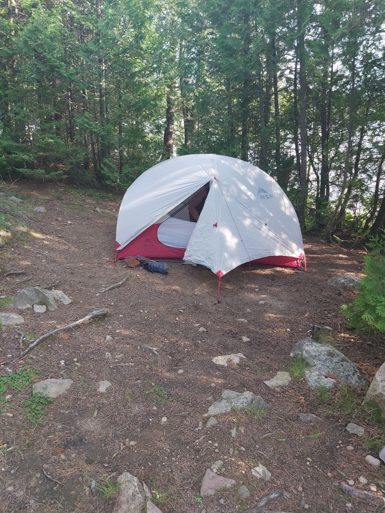
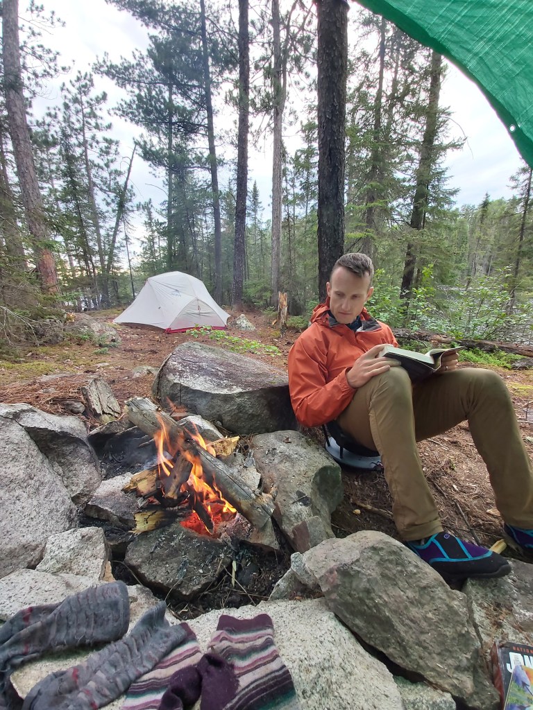
Putting into Hamburg Lake felt like quite an accomplishment. We hadn’t travelled that far, but we were tired from the frequent and difficult portages. It was starting to rain, so we decided to find a site right away. There wasn’t much in the firs part of the lake, but we paddled to the island in the Northeast corner of the lake and found a cute site. We put up a rain shelter close to the island’s second fire pit, which also had a large rock about 20 feet tall, which we used as a wall in our rain shelter. In the shelter, we were able to have a fire to warm up, and we spent the rest of the afternoon there playing Zombie Dice. By 7pm, the rain stopped, the clouds broke up, and the sun came out. This was a perfect campsite. 5-stars!


Day 4: Hamburg Lake to Oriana Lake
There was rain, lightning and thunder overnight. We woke up at 7am. We had breakfast and packed up. The winds were already picking up. This was to be day 1 of two days of 50km/hr Western wind gusts. Which is why we didn’t get far. We put in at 9:30am and paddled toward the Oriana Lake portage. We had to rope the canoe through a narrows near the portage, which was fun! The portage itself is a 460m trail over rocky terrain with plenty of ups & downs and steep elevation changes. We snacked on peanut butter wraps before tackling this part of Oriana Creek.
This part was shallow, but navigable. It’s a short paddle to the opening into Oriana Lake. The wind had really picked up so now we were facing those 50km/hr gusts head on.
We saw a group of 4 canoes paddling toward where we were. They were making great time with that tail wind!
We put in and paddled as hard as we could. At one point we disembarked on the south shore of Oriana and roped the canoe along the rocks as it was easier than paddling. Then we got back into the canoe and used the islands for a bit of shelter from the wind. We checked out the first island campsite (on the second island from the East end of the lake) and rested here in the sun. This wasn’t much of a campsite. I didn’t see a tent pad at all. Just a fire ring. We could see the next island looked to be nice, and waited a bit to regain our forces before heading out.
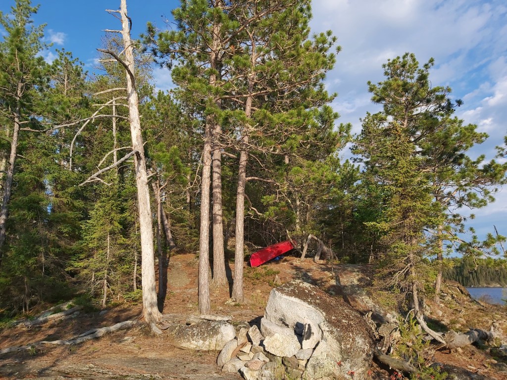
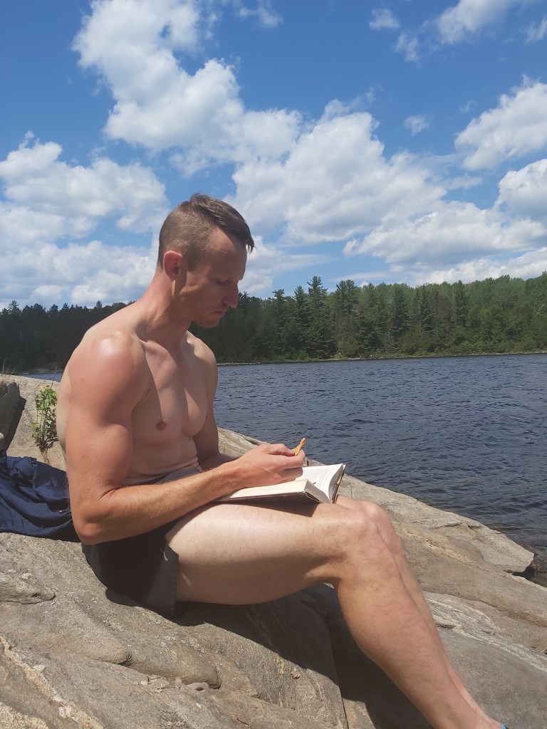
And yes, this next island had a great campsite. It would have fit several tents. There was an amazing swimming rock on the east side of the island, where we spent the rest of the afternoon and evening, sheltered from the wind, and soaking up the sun. It was the only hot day of our trip, and we made the best of it in our swim suits. Had we been in the wind, it probably wouldn’t have felt that hot. I think the high was 26 degrees that day.
When the evening sun disappeared behind the island, we moved to the staging and fire pit area on the West side of the island. We had a nice fire, enjoyed dinner, and put our layers back on as it was cooling off fast. Here, we were subjected to the wind. At one point, quite late in the evening, we heard a dog bark. It took us a moment to realize this was out of place, but when we did we went to see who had landed on the island. It was a couple who had paddled all the way from Batchewaung, and they were exhausted. I offered for them to set up their tent on one of the many tent pads offered by this excellent island. (if that had been me, I would have appreciated such an offer. 🙂 They decided not to stay, instead they paddled around the corner and we saw them the next morning at the first campsite. Their dog was still barking at us from their tent.
Day 5: Oriana Lake to Quetico Lake
We knew we were in for another windy day so we got up early to get some distance in before the winds picked up. We were on the water at 7:25 am! Not bad! We made good time into Quetico Lake and pulled into a really cute campsite on a tip of land on the South shore of the lake, before it opens up. We had our to-go coffees. The wind hadn’t yet picked up, so we decided to keep going. We put in again and within minutes it appeared the winds started gusting. Since we had a couple nights to get back to Beaverhouse, and were in no rush, we turned around and went back to the cute campsite on the tip of land. We spent the afternoon reading and enjoying the sun. It turns out the campsite was adorable, but not in any way shielded from the wind. Also, there was quite a bit of moose droppings all over the place. Nevertheless, I was pleased with this spot! Also the droppings were a great reminder that we are visiting the animals’ home. So I was grateful to be in this place that was clearly visited frequently by moose. For them allowing us to spend the night there.
Day 6: Quetico Lake to Cirrus Lake
Today we were going to visit the two campsites we had stayed at ten years ago, and we were hoping to stay at what we have called “Turtle Point” for the last 10 years for our final night in the park. The place where the resident turtle had bit my toe. We were up early and on the water at 6:45am. The forecast wasn’t calling for as much wind, certainly nothing that was likely to keep us off the water. I’m glad we put in early as we had a long, uninterrupted, peaceful paddle on calm waters to “The Beach.”
The beach site in question is just North of the portage from Beaverhouse to Quetico Lake. I have very fond memories of this place – a beautiful beach, a nice treed tent pad. But it definitely did not live up to my expectations. The tent pad was overgrown. The beach was not nearly as beautiful as I remembered it. And it was extremely buggy. It’s also on the portage path to cut out part of Quetico Lake if you’re on the way to Badwater Lake, but I didn’t remember this at all from 10 years ago. All in all, we didn’t stay long. Off we went to Turtle Point.

Another peaceful paddle to the portage to Cirrus Lake. We’d done this part on day 1, so at this point we overlapping on Day 1 travel. Turtle point is the campsite that you see on the Western tip of land immediately across a bay on the Cirrus Lake side of the portage. We arrived early and were pleased to see that the site was free. We pulled in and explored. Turtle Point is everything I remember it being and more. Quite possibly the best site we stayed at the entire trip (or a close second to the Oriana Lake island site.)
Definitely stay here on your way out of the park, if you are exiting at Beaverhouse. Although we didn’t notice right away, this area was very busy. In fact, we could hear voices carrying over from the North shore of Cirrus Lake, and could see there were a few parties scattered around. Later in the evening, a couple of people fishing passed by our site and we chatted – they were from Thunder Bay and came into Quetico once a year, not to paddle and explore, but to set up in this part of the lake and fish for a few days. We saw several other canoes paddle by, and a group of 4 canoes came through the portage from Quetico Lake and were disappointed that we had already set up at Turtle Point.
We’d seen very few humans on the trip so far, and those we had seen had mostly just been paddling in the distance. So this was very different, but nice. I love chatting with people we come across in the backcountry. Tim, not as much!
We call this place Turtle Point because when we were there in 2012, Dominic and I were sitting on one of the swimming rocks with our feet dipping in the water reading our books. We were both startled when I screamed because a turtle bit my toe. It was a gentle bite and didn’t hurt at all, but I definitely did not expect it. One of the people we chatted with this time around asked us if the resident snapping turtle had visited us yet. So I’m happy to hear that the toe-biting snapping turtle is still around Turtle Point. I don’t know a lot about turtles, but I did find this information from Turtle Guardians quite interesting.
It was a beautiful, calm evening (no wind, sunshine.) We stayed up late reading, exploring, and enjoying ourselves.
Day 7: Cirrus Lake to Beaverhouse Lake Parking Lot
The next morning we slept in, packed up, and made the short trek to the parking lot. It’s a short paddle and three relatively easy portages from where we were. So before we knew it, we were back at the car.
Main thoughts about Quetico Provincial Park
The route we ended up doing was on Oriana Creek, and we’ve read in different places that it is probably best to avoid the creek during low water. This year was not a low water year and it was early in the season, and there were still parts that were quite a slog. So I agree – avoid in low water.
Don’t underestimate the prevailing Western winds. Be ready to hustle, or give yourself extra time to take it easy on really windy days, or plan a one-way route with the wind at your back!
The portages are not marked, but were overall fairly easy to find. A couple of portages we had a harder time finding, but nothing major.
The park is beautiful. Tim and I decided that we want to paddle here some more. I’m not entirely sure when our next trip to Quetico will be, or which part of the park we’ll tackle… but I’m thinking the Falls Chain.
Get in touch if you’re planning a Quetico trip. I want to hear all about it, and get some inspiration!
