September 2 and 3, 2017
We arrived at the launch point East of Rennie on Hwy 44 around 10am. Check out the Whiteshell backcountry map for more information. At the launch site, you’re greeted with this lovely sign to remind you what you’re getting yourself into!


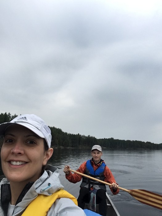
The parking area is close to the creek so we were able to load the canoe and set off on the creek very easily and quickly. The creek is mostly easy to follow and there was only one junction where someone may be tempted to take a wrong turn. See more info about that below.
The first portage is only about a 45 minute paddle away from the start. The portage crosses the TransCanada Trail and features some lovely back country seating surrounding a nice fire pit. This would be a wonderful place for a memorable date. It’s a short paddle away from the highway, so it would be easy to pack a nice picnic and a chilled bottle of white and spend a few hours in this secluded nook of the Whiteshell.
The portages are signed, so look out for signs like these:


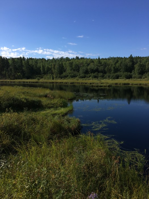
After the first portage, there’s a very long stretch of uninterrupted paddling because the last three portages are very close together in the last part of the creek before Frances Lake. Between the second and third portages, the water levels were very low (keep in mind this was at the tail end of a very dry summer). In retrospect, we should have chosen to do this route at a different time of the year when water levels are higher.
And, I definitely cannot forget the beavers! Beavers everywhere. Although we only saw two actual beavers, their presence is well established by the 15 or more beaver dams we had to cross along the way.

The one spot where it wasn’t immediately clear where to go on the creek was marked by a primitive sign next to a beaver dam. I suppose it would be possible to take the wrong direction here, hence the sign. Obviously, the sign may not be there next year… who knows, the beavers might chew it off and use if for their dam or den next spring! So, just in case, I recommend you have your topographical map and/or compass with you so that you can pick the right direction.

It took us about 6 hours to reach Frances Lake. It probably would have taken us less time had the water levels not been so low. There’s a campsite on the Frances Lake side of the last portage, but we opted to paddle the lake and find something else. I highly recommend going onto the lake and finding a spot on the other side of the lake because the paddle on the lake is so nice and refreshing after 6 hours on the creek and the campsites over there are pristine and beautiful!


Our campsite was amazing. There was a nice pad in the trees for our tent, a fire pit with some rocks for sitting, a swimming rock and a perfect view of the sunset.
I would highly recommend this trip for novice paddlers who are looking to get the “middle-of-nowhere” feeling while staying relatively close to the city. It drizzled on and off the next day, but we still enjoyed every moment of the paddle back!